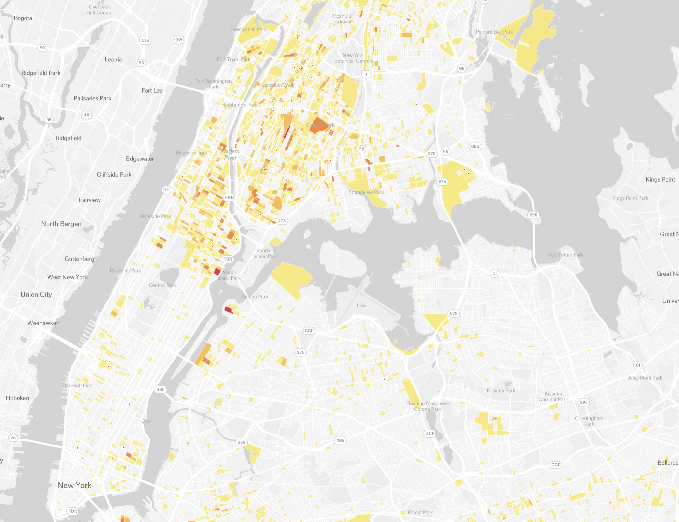
A photo of an interactive map built by Gothamist.
This map combines two publicly available NYPD datasets and Gothamist’s own data to show block-level concentrations of gun violence over four years. [ more › ]
A photo of an interactive map built by Gothamist.
This map combines two publicly available NYPD datasets and Gothamist’s own data to show block-level concentrations of gun violence over four years. [ more › ]